top of page

When completing map work assignments please be sure to do the following:
1. Write legibly the country, city, and landforms within the boundaries where they are located or make an arrow in the margin area of the map and point to the correct area of the country, city or landform and write on that arrow. Have your arrow pointing to approximately the precise/exact location.
3. Color in lightly or highlight each county's border with a thin line of color. Use a variety of colors like you see on political maps.
2. Make a simple key for particular landforms. You decide on logical graphics for the key
Example: MMM = mountains
= rivers
= deserts
Be sure to label completely the nmaes of the feature. Example: Sahara Desert, not just Sahara.
3. Title the maps. Some may already be done for you. Be sure to include whether it is a political or physical map.
The above 3 items are parts of quality maps. Cartographers (map makers) put the above items on maps along with scale and orientation.

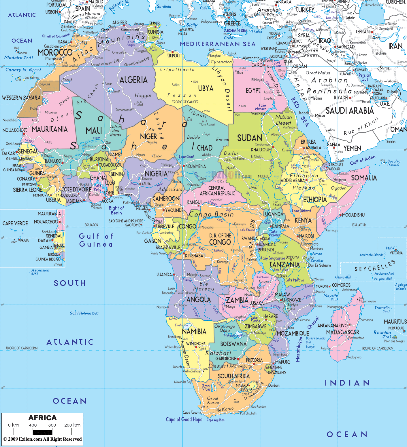
Political map of Africa
Physical map of Africa
Note that both political and physical maps show boundaries and landforms. You typically will be making a political map with the boundaries and capital cities. Then making a physical map with just the landforms. All maps will be given to you for you to label. Make one of the maps on one side of the paper and the other map on the otherside of the paper.
bottom of page